Maps and Atlases
 Aeromagnetic Anomaly Map of Louisiana, 1990
compiled by M.T. Angelich and R.H. Pilger Jr., scale 1:500,000, multicolored, sheet size 40 x 43 in.
Price: $25.00
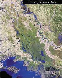 The Atchafalaya Basin, 2004
compiled by Lisa Pond, John Snead, and Robert Paulsell, scale 1:100,000, multicolored, double-sided sheet size 32 x 40 in.
Map depicts public lands and boat landings located in the basin on a detailed base with state and U.S. highways. The reverse side features a satellite image of the basin in full color.
Available rolled, $20.00 or folded, $15.00
 Bouguer Gravity Map of Louisiana, 1990
compiled by M.T. Angelich, R.H. Pilger Jr. and G.R. Keller, scale 1:500,000, multicolored, sheet size 40 x 43 in.
Price: $25.00
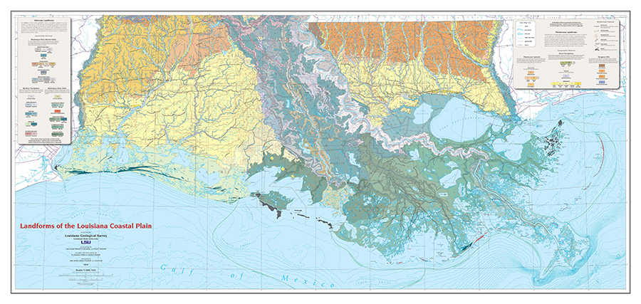 Landforms of the Louisiana Coastal Plain, 2019
by John Snead, Richard P. McCulloh, and Paul V. Heinrich
Price: $150.00 for high quality plot and/or $75.00 for PDF
Composite Age Tectonic Map, Gulf Basin Province, 1979
by E.G. Anderson, scale 1:5,000,000, multicolored, sheet size 26 x 26 in. Also available
as frontispiece in Folio Series No. 3.
Price: $15.00
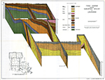 Fence Diagram of Louisiana Geology, 1960
by J.R. Rollo, scale 1 in. = 18 mi., multicolored, sheet size 18 x 14 in. Out of print.
(Available only as Plate 2 in Water Resources Bulletin No. 1.)
Plate No. 2, Water Resources Bulletin No. 1. Price: $15.00
 Geologic Quadrangle Maps
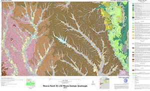
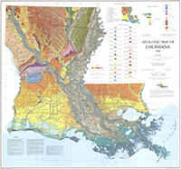 Geologic Map of Louisiana, 1984
compiled by J.I. Snead and R.P. McCulloh, scale 1:500,000, multicolored, sheet size 44 x 42 in. Folded
Price: $30.00
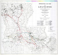 Intrastate Gas Pipeline Map, 1983
compiled by E.L. McGehee Jr., scale 1:500,000, full color, sheet size 43 x 40 in.
Price: $20.00
 Investigation and GIS Development of the Buried Holocene-Pleistocene Surface in the
Louisiana Coastal Plain, 2015
Investigation and GIS Development of the Buried Holocene-Pleistocene Surface in the
Louisiana Coastal Plain, 2015
A technical report to accompany final digital deliverables for contract CPRA-2013-TO11SBO1-DR. A comprehensive study of the structure of the Holocene-Pleistocene surface in south Louisiana. Three map plates, Isopach Map, Structure Map, and Topo-bathy Map.
 Louisiana Barrier Island Study-Atlas of Shoreline Changes in Louisiana from 1853-1989
S.J. Williams, S. Penland, and A.H. Sallenger 1992, 104 pp.
Describes the geologic framework of the Mississippi River delta plain and the processes affecting its evolution and cultural history. Barrier systems discussed are Isles Dernieres, Bayou Lafourche, Plaquemines, and Chandeleur. Out of print.
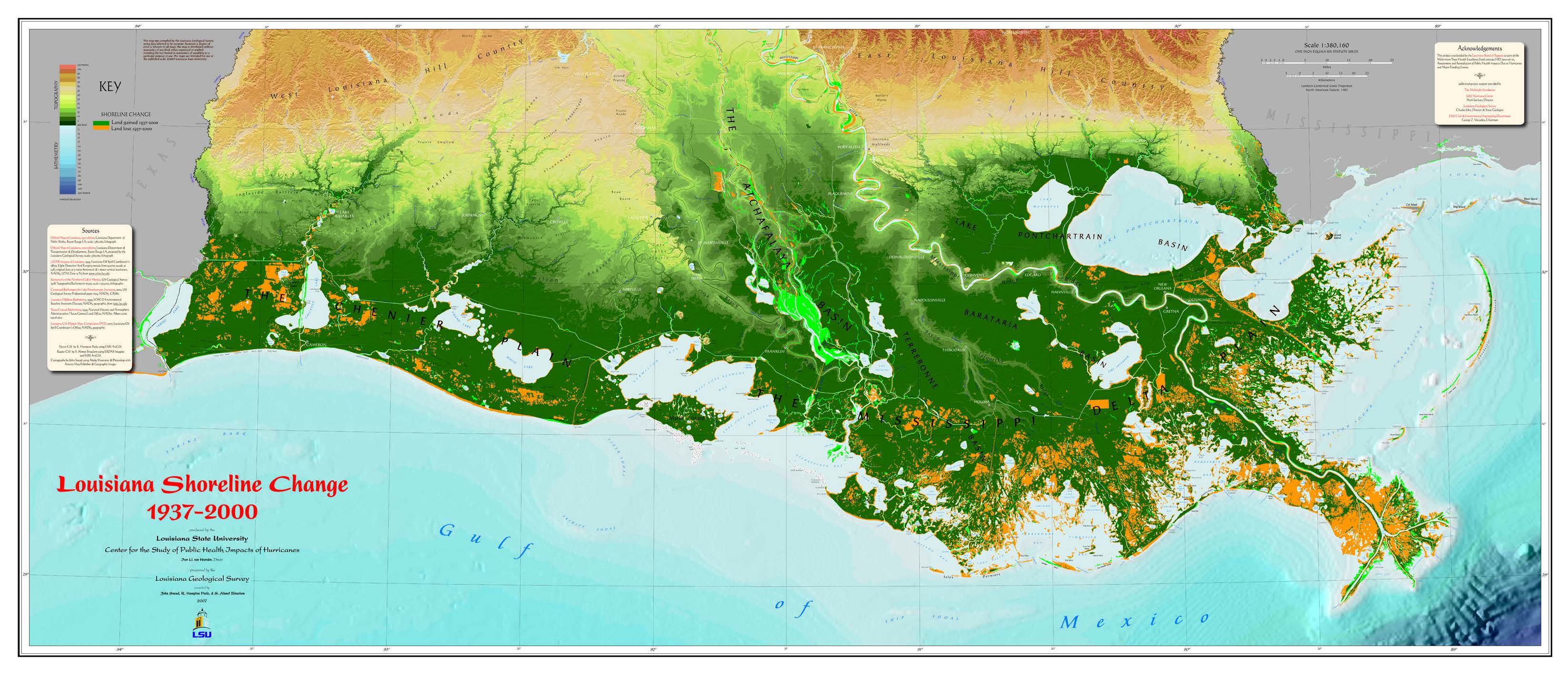 Louisiana Shoreline Change 1937-2000
by John Snead, R. Hampton Peele, and Ahmet Binselam, 2008, 26 X 60 in. Multicolored
thematic physical relief map.
Scale 1:380,160.
Price: $25.00
 Oil and Gas Fields Map of Louisiana, 2008
compiled by Brian Harder and Aseka Rahman. scale 1:500,000, full color, app. size 54 x 50 in.
Price: $50.00
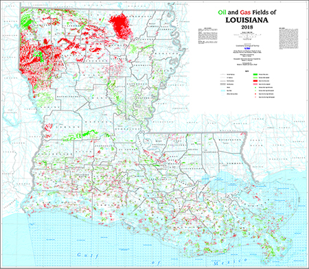 Oil and Gas Fields Map of Louisiana, 2018
compiled by Brian Harder. scale 1:500,000, full color, app. size 54 x 50 in.
Price: $250.00 for high quality plot and/or $125.00 for PDF
Parish Geologic Maps
The following Parish Geological Maps from previous bulletins are now available in digital (pdf) form. Acadia and Jefferson Davis, Avoyelles and Rapides, Beauregard and Allen, Caldwell and Winn, DeSoto and Red River, Evangeline and St. Landry, Grant and LaSalle, Natchitoches, Ouachita, Sabine, Vernon, and Webster Parishes.
Available as PDF only. Price: $15 each. Contact the main office at lgs@lsu.edu or the address below for ordering.
Other Parish Geologic Maps, scale 1:62,500, full color, available only in parish geological bulletins. Not available for all parishes. Maps sold separately only for Bossier ($20.00) and Natchitoches ($25.00) parishes.
- Acadia Parish-Geologic Bulletin 36
- Allen Parish-Geologic Bulletin 27
- Ascension Parish-Geologic Bulletin 13
- Avoyelles Parish-Geologic Bulletin 18
- Beauregard Parish-Geologic Bulletin 27
- Caldwell Parish-Geologic Bulletin 15
- Cameron Parish-Geologic Bulletin 6
- Catahoula Parish-Geologic Bulletin 9
- Desoto Parish-Geologic Bulletin 25
- Evangeline Parish-Geologic Bulletin 31
- Grant Parish-Geologic Bulletins 10, 20
- Iberia Parish-Geologic Bulletin 1
- Iberville Parish-Geologic Bulletin 13
- Jefferson Davis Parish-Geologic Bulletin 36
- Lafayette Parish-Geologic Bulletin 3
- LaSalle Parish-Geologic Bulletins 10, 20
- Natchitoches Parish-Geologic Bulletin 44
- Ouachita Parish-Geologic Bulletin 28
- Plaquemines Parish-Geologic Bulletin 8
- Rapides Parish-Geologic Bulletins 17, 18
- Red River Parish-Geologic Bulletin 25
- Sabine Parish-Geologic Bulletin 34
- St. Bernard Parish-Geologic Bulletin 8
- St. Landry Parish-Geologic Bulletin 31
- St. Martin Parish-Geologic Bulletin 3
- Vermillion Parish-Geologic Bulletin 6
- Vernon Parish-Geologic Bulletin 22
- Webster Parish-Geologic Bulletin 29
Quaternary Geology of the Lower Mississippi Valley, 1989
compiled by R.T. Saucier and J.I. Snead, scale 1:1,000,000, sheet size 31 x 35 in.
Price: $20.00
Recent Geologic Flood-Plain Deposits of Louisiana, 1982
compiled by R.P. McCulloh and R.A. Bradley, scale 1:500,000, one color, sheet size 44 x 42 in.
Out of print
Price: $0.00
Shoreline Changes of the Isles Dernieres Barrier Island Arc, Louisiana, From 1853–1989, 1991
compiled by R.A. McBride, S. Penland, B. Jaffe, S.J. Williams, A.H. Sallenger and
K.A. Westphal, scale 1:75,000, sheet .size 37 x 49 in.
Price: $20.00
South Louisiana Geopressured Tertiary Sandstones, 1984
by R.P. McCulloh, E.C. Kosters, and M.A. Pino, scale 1:500,000, black and white, sheet
size 21 x 42 in.
Price: $20.00